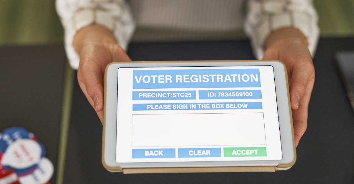
voter turnout hotspots
Hyper-Local Politics Reviewed: How a City Turns Mobile Polling
Cities turn mobile polling into a real-time turnout engine by deploying geotagged ballot-count apps that let officials see where votes are being cast and mobilize resources instantly. The result is a clearer picture of voter-turnout hotspots and faster, data-driven outreach. In 2024, a city council pilot demonstrated how a smartphone